How it began...
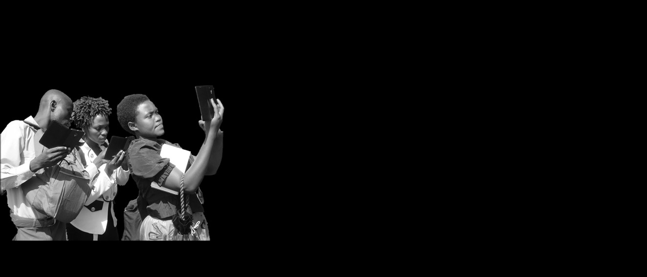
In February 2017 we started with a group of 21 citizens of the Rwenzori Mountains, the geo-observers. After a one-day course and an excursion, the geo-observers were trained to use a smartphone to collect information on hailstorms, landslides, floods, lightning, windstorms, earthquakes, droughts and pests- and diseases using the KoboCollect application (https://kobotoolbox.org). This citizen science network was one of the key objectives of a VLIR-SI project coordinated by the VUB and Mountains of the Moon University. A broad methodological overview and proof of concept can be found here: https://www.sciencedirect.com/science/article/pii/S0048969719311659.
This pilot project was in many ways an eye-opener, and based upon our experiences, other citizen science network are currently under development in West-Uganda. D-SIRE is a continuation of the VLIR-SI project, funded by VLIR-UOS for the period of 2019-2022. HARISSA also focuses on hazard and risk and will implement a citizen science network in SW-Uganda. Finally, ATRAP focuses on schistosomiasis risk and a citizen science network will be started to monitor snail populations acting as a vector for the disease. ATRAP and HARISSA are funded by DGD, Belgium (2019-2023).
<< If you want to go far, go together >>